Beschreibung
A Skipper’s Practical Guide – Written by a Skipper, for Skippers
The Navionics Boating App is one of the world’s leading navigation solutions for recreational boating. Use detailed digital charts directly on your tablet or smartphone – download maps online, use them offline, plan routes, and navigate safely wherever you are.
This English-language handbook (5th revised edition) is the most comprehensive user guide available, written from real skipper experience. Learn every function step by step through over 500 full-color screenshots, clearly illustrating every operation. Whether you’re a beginner or an experienced skipper, this guide will help you master the app with confidence.
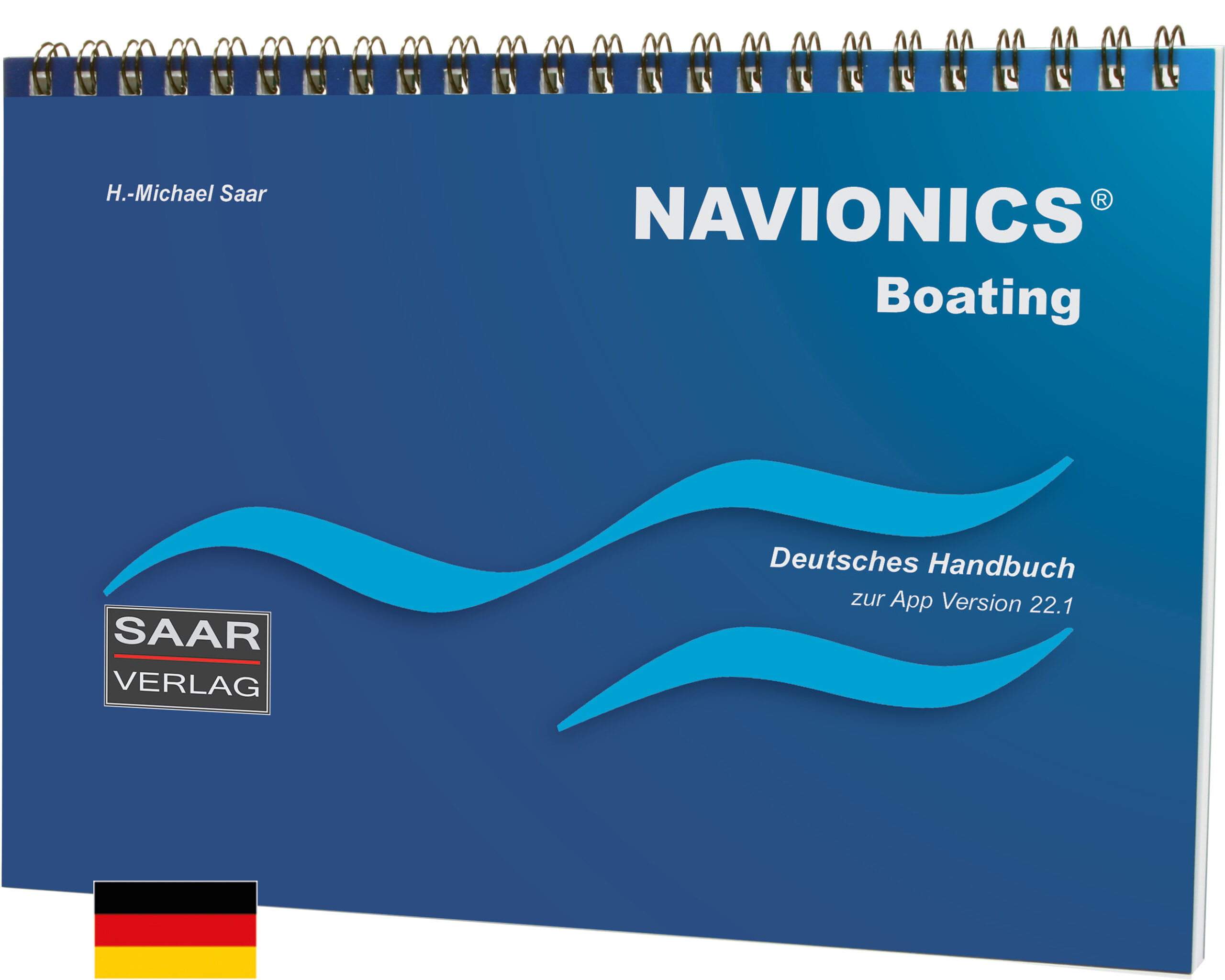
Ein deutsches Handbuch ist ebenfalls verfügbar
👉 Your Benefits at a Glance
- iOS & Android: All features clearly explained for both platforms
- Tablet & Smartphone operation: Differences shown side by side
- Online & Offline Charts: Worldwide coverage, including inland waters
- Marine Weather, Tides & Currents: Access up-to-date forecasts and tidal information
- Bathymetric Charts: Optional for anglers and fishers
- Step-by-step practical tutorials for real-world use
- Glossary with 90 nautical terms (English/German)
- Multilingual interface: English, German, French, Italian, Spanish
- Manufacturer support available during office hours
👉 Key Features in Detail
- Manual & Automatic Routing (AutoRouting)
- Integration of AIS and GPS receivers
- Customizable favorites and settings
- Detailed chart functions including depth contours
- Marine weather information
- Tides & currents data
- Optional bathymetric charts for anglers
You’ll learn how to plan routes, update charts, and use offline maps—whether navigating at sea or on inland waterways.
👉 Technical Details
- 112 pages, high-quality full-color print
- Landscape A5 format
- Spiral binding – lays flat, ideal for onboard use
👉 Who It’s For
- Sailors, motorboaters, beginners, professionals, and anglers – anyone who wants to fully master the Navionics Boating App.